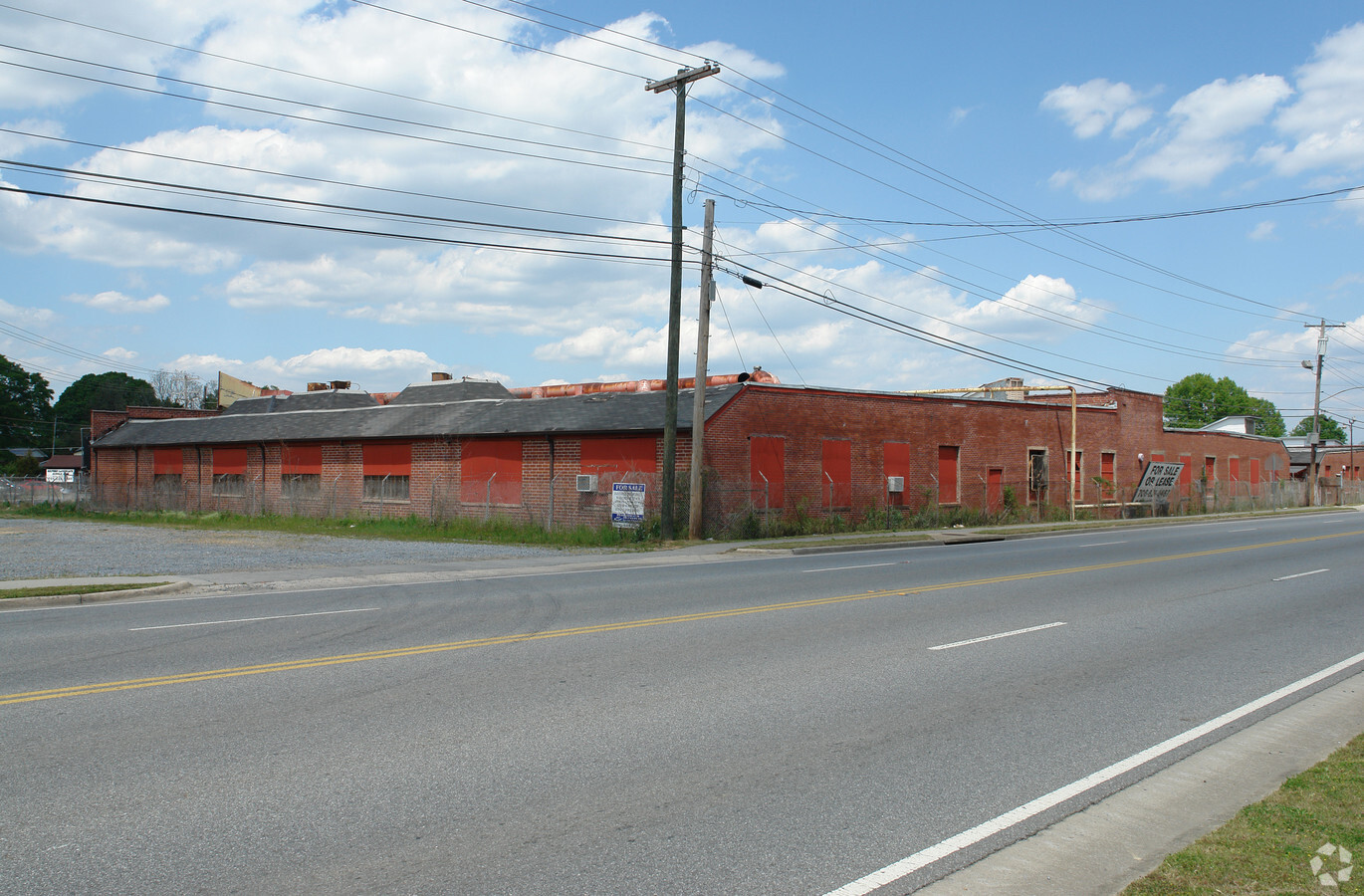
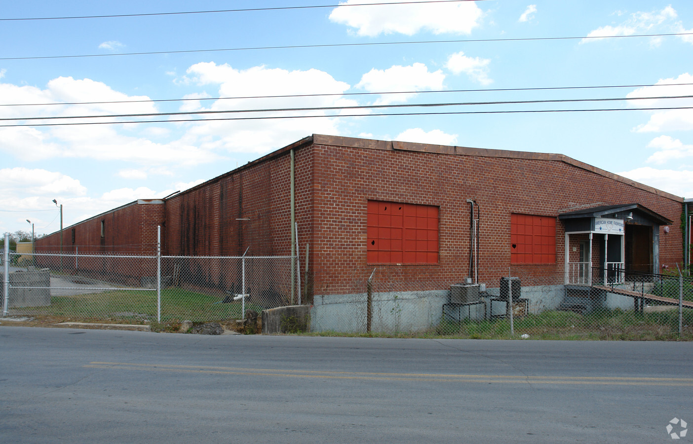
Property Record
305 Mcconnell Rd, Calhoun, GA 30701
NEARBY LISTINGS FOR SALE OR LEASE
Property Detail
305 Mcconnell Rd
C12-038
CHEROKEE MILL LOFTS
Apartment
Gordon
X
Georgia
13213C0275D
3.53 AC
2023
Georgia Northwest
2023
Other Market Areas
970602
Calhoun, GA
96,533 SF
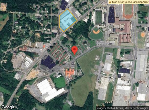
DEMOGRAPHICS near 305 Mcconnell Rd
1 Mile
3 Mile
5 Mile
2024 Total Population
3,138
23,229
33,539
2029 Population
3,382
24,886
35,924
Pop Growth 2024-2029
+ 7.78%
+ 7.13%
+ 7.11%
Average Age
37
38
39
2024 Total Households
1,192
8,724
12,410
HH Growth 2024-2029
+ 7.55%
+ 6.91%
+ 6.91%
Median Household Inc
$34,194
$41,574
$47,071
Avg Household Size
2.50
2.60
2.60
2024 Avg HH Vehicles
1.00
2.00
2.00
Median Home Value
$185,972
$170,174
$180,310
Median Year Built
1975
1985
1986
Nearby Places
- Restaurants
- Banks
- Shops
- Fitness
- Groceries
Nearby Properties
Address
Land Use
TOTAL SIZE
Lot Size
Zoning
Address
Land Use
TOTAL SIZE
Lot Size
Zoning
5,040 SF
13.39 AC
C-2
Address
Land Use
TOTAL SIZE
Lot Size
Zoning
192,578 SF
25.47 AC
C-N
Address
Land Use
TOTAL SIZE
Lot Size
Zoning
71,300 SF
3 AC
C-2
Address
Land Use
TOTAL SIZE
Lot Size
Zoning
860,400 SF
19.85 AC
IND-G
Address
Land Use
TOTAL SIZE
Lot Size
Zoning
4,318 SF
19.26 AC
IND-G
Address
Land Use
TOTAL SIZE
Lot Size
Zoning
554,897 SF
42.41 AC
IND-G
Address
Land Use
TOTAL SIZE
Lot Size
Zoning
84,700 SF
42.22 AC
R-1
Address
Land Use
TOTAL SIZE
Lot Size
Zoning
44,512 SF
19.94 AC
R-2
Address
Land Use
TOTAL SIZE
Lot Size
Zoning
3,360 SF
25.27 AC
RC-1
Address
Land Use
TOTAL SIZE
Lot Size
Zoning
18,640 SF
75.10 AC
C-2
Address
Land Use
TOTAL SIZE
Lot Size
Zoning
88,000 SF
8.87 AC
IND-G
Address
Land Use
TOTAL SIZE
Lot Size
Zoning
28,481 SF
24.41 AC
R-1B
Address
Land Use
TOTAL SIZE
Lot Size
Zoning
6,956 SF
7 AC
R-2
Address
Land Use
TOTAL SIZE
Lot Size
Zoning
806,290 SF
74.96 AC
IND-G
Address
Land Use
TOTAL SIZE
Lot Size
Zoning
63,612 SF
8.67 AC
I1
Address
Land Use
TOTAL SIZE
Lot Size
Zoning
73,792 SF
5.38 AC
C-2
Address
Land Use
TOTAL SIZE
Lot Size
Zoning
17,685 SF
25.67 AC
C-2
Address
Land Use
TOTAL SIZE
Lot Size
Zoning
51.30 AC
IND-G
Address
Land Use
TOTAL SIZE
Lot Size
Zoning
422,500 SF
86.37 AC
I-1
Address
Land Use
TOTAL SIZE
Lot Size
Zoning
16,274 SF
12.25 AC
CU
Address
Land Use
TOTAL SIZE
Lot Size
Zoning
2,870 SF
11.02 AC
PRD
Address
Land Use
TOTAL SIZE
Lot Size
Zoning
11,192 SF
14.97 AC
IND-G
Address
Land Use
TOTAL SIZE
Lot Size
Zoning
20,072 SF
66.16 AC
A-1
Address
Land Use
TOTAL SIZE
Lot Size
Zoning
57,244 SF
10.60 AC
C-2
Address
Land Use
TOTAL SIZE
Lot Size
Zoning
188,628 SF
68.91 AC
IND-G
Address
Land Use
TOTAL SIZE
Lot Size
Zoning
241,200 SF
41.03 AC
IND-G
Address
Land Use
TOTAL SIZE
Lot Size
Zoning
213,100 SF
10.96 AC
IND-G
Address
Land Use
TOTAL SIZE
Lot Size
Zoning
26,974 SF
3.47 AC
C-2
Address
Land Use
TOTAL SIZE
Lot Size
Zoning
149,248 SF
8.84 AC
IND-G
The World's #1 Commercial Real Estate Marketplace
Connect with us
© 2025 CoStar Group
The information above has been obtained from sources believed reliable. While we do not doubt its accuracy we have not verified it and make no guarantee, warranty or representation about it. It is your responsibility to independently confirm its accuracy and completeness. Any projections, opinions, assumptions, or estimates used are for example only and do not represent the current or future performance of the property. The value of this transaction to you depends on tax and other factors which should be evaluated by your tax, financial, and legal advisors. You and your advisors should conduct a careful, independent investigation of the property to determine to your satisfaction the suitability of the property for your needs.